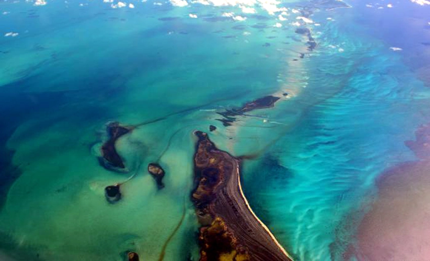
Cuba now possesses nine maps at a 1:1,000,000 scale detailing the composition of the Caribbean island’s marine territory and adjacent areas—an achievement that will serve a variety of purposes.
Researchers from the Institute of Geology and Paleontology/Cuban Geological Survey consider geological knowledge of the marine zone vital for planning environmental impact studies and mineral resource exploration, among other applications.
These maps cover aspects such as topography, the composition of seabed and sub-seabed sediments and rocks, geological hazards, submerged landscapes, coastline types, and mineral resources.
This outcome is part of the “Thematic Mapping of Cuba’s Marine Territory” project.
Moreover the maps were created using information gathered from previous research. Updated bathymetric data, and satellite imagery; the initiative was a response to a call for projects in the Caribbean Sea issued by the European Marine Observation and Data Network (EMODnet).
The primary objective is to observe the marine environment, process data in accordance with current international standards. And make this information publicly available to interested parties free of charge.
Also the maps are essential for planning activities related to mineral resource exploration, environmental and ecological impact studies, the detection of geological hazards, engineering projects, and spatial planning.
With information from Prensa Latina

- Cuba Now Has Marine Maps Suitable for Various Applications - 2 de October de 2026
- Experts say the future of tourism rests on sustainability and authenticity - 2 de October de 2026
- Transformations in Cuba: Necessary in Times of Urgency - 2 de October de 2026